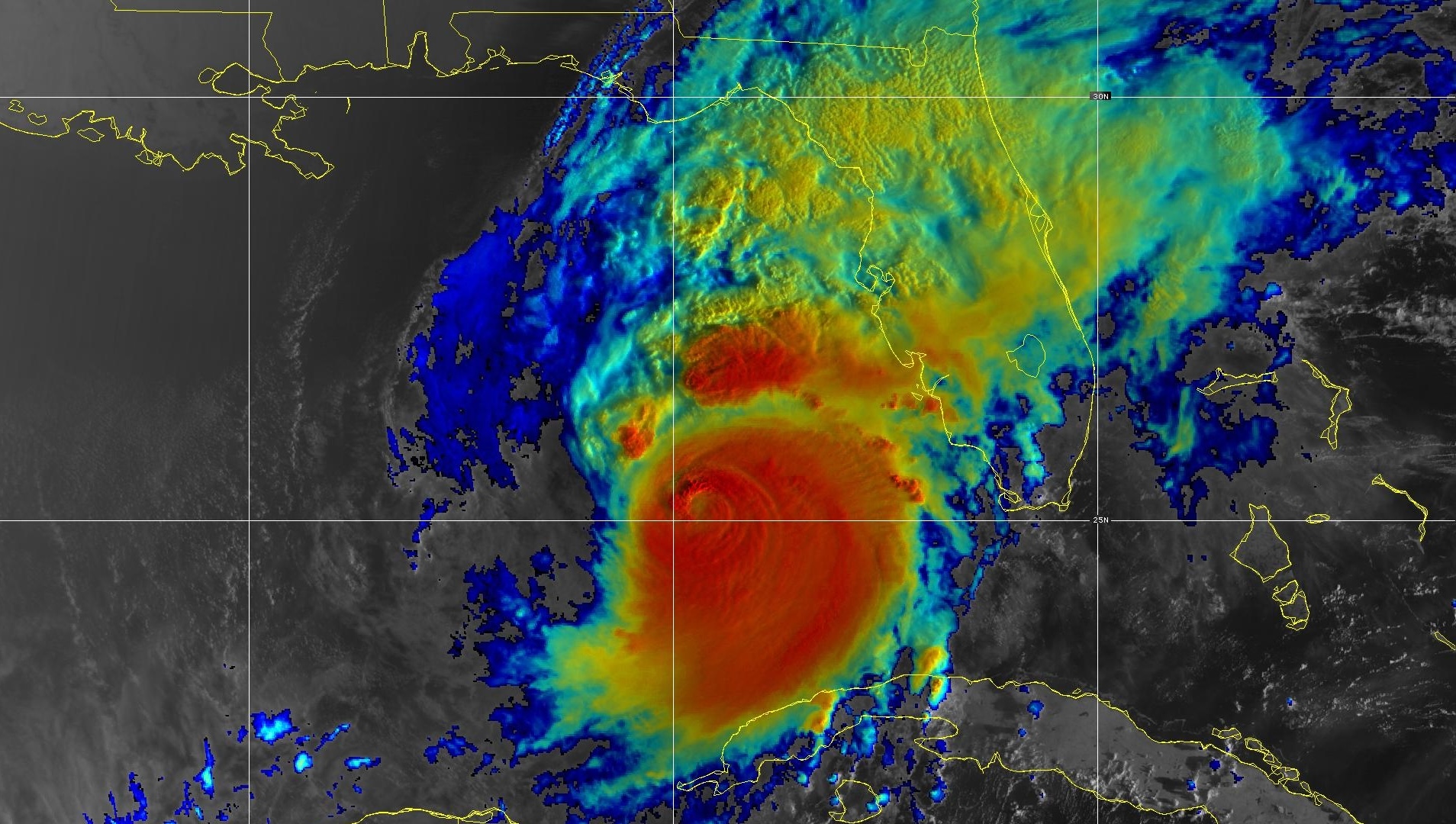
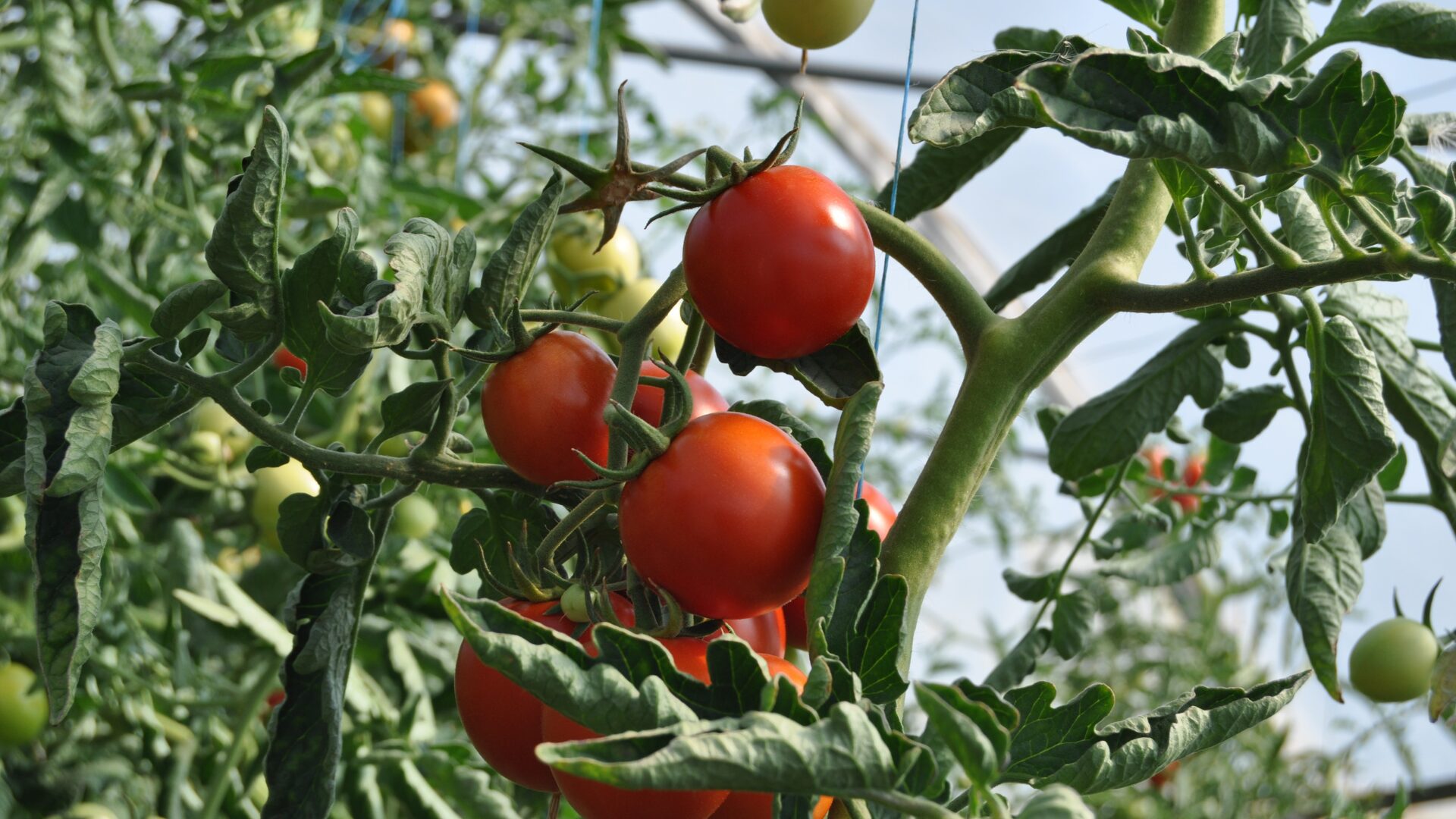
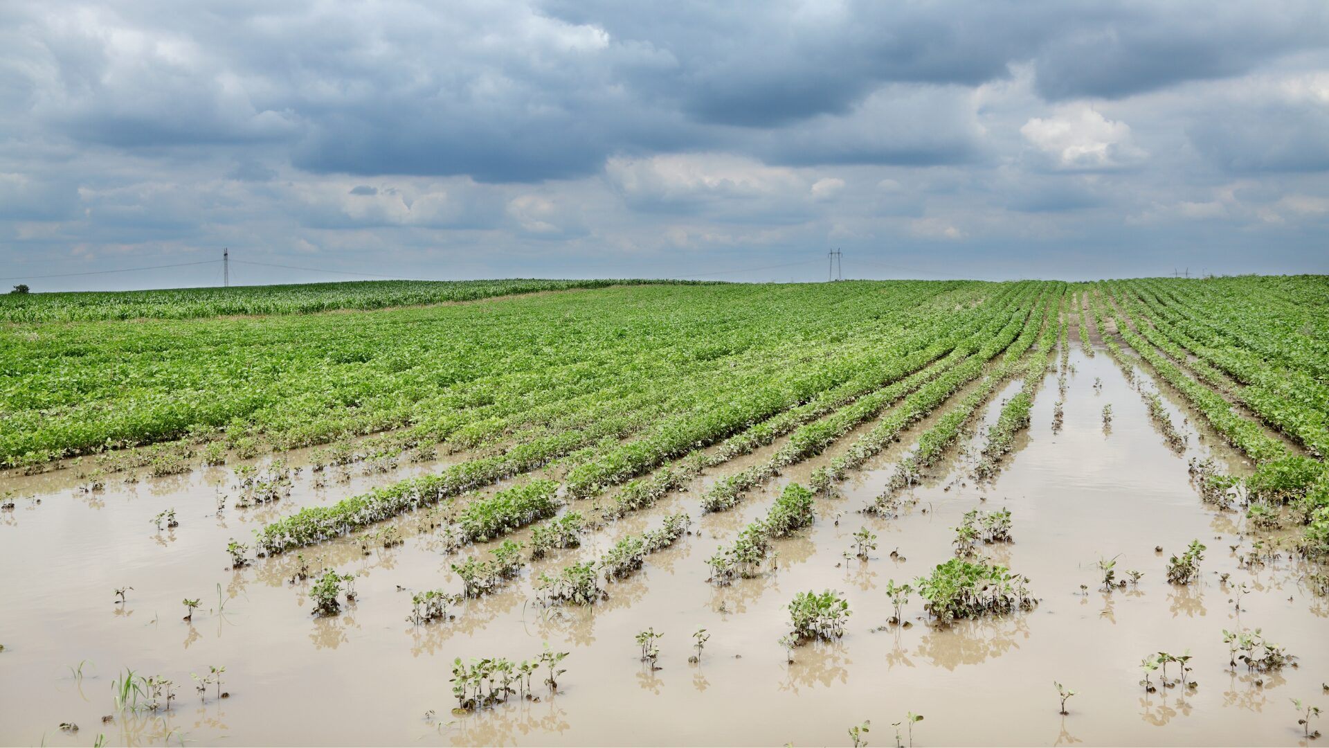
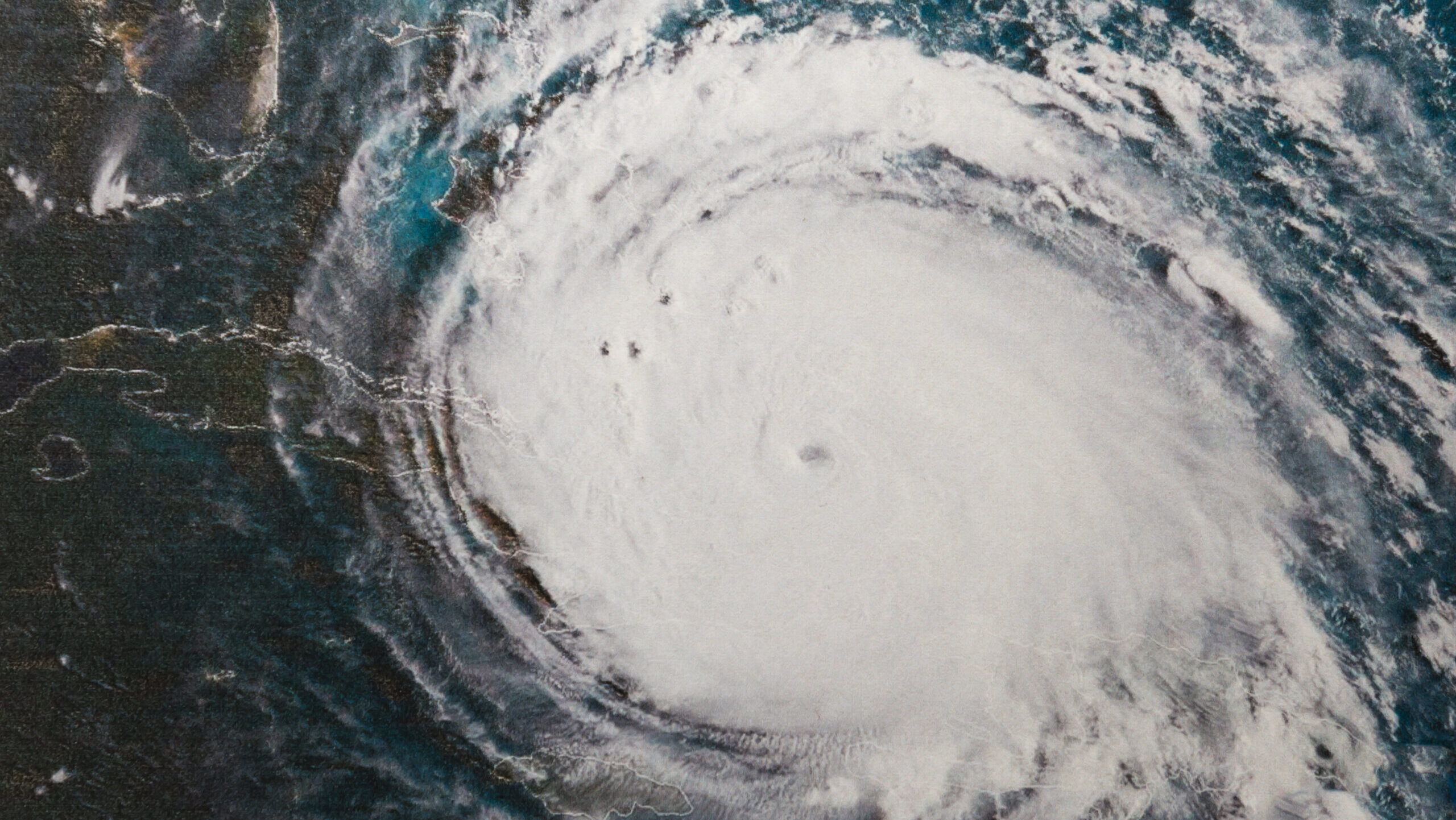
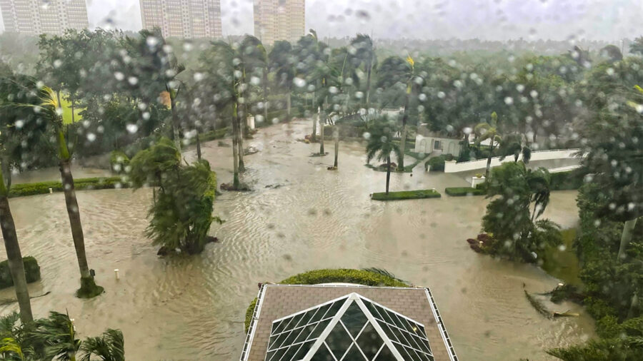
Hurricane Milton, a Category 5 hurricane, took aim at Florida and promised to be the worst storm in a century to hit Tampa Bay, where a possible 15-foot storm surge could cause billions of dollars in damage to real estate and crops.
Milton was expected to make landfall late Wednesday, the National Hurricane Center said. The storm sported winds up to 180 mph according to USA Today, but winds were expected to diminish to 111 mph by the time it hits Tampa as a Category 3. Storm warnings were issued for Florida’s Gulf Coast as Milton moved northeast.
“The entire west coast of Florida (Big Bend to the Keys) as well as the interior sections of the Peninsula need to be closely monitored this week since even subtle changes in the track/intensity will change the impacts – better or worse,” Jon Davis, chief meteorologist at Everstream Analytics, told The Food Institute.
“There is some guidance that indicates Milton will weaken prior to landfall as wind shear increases across the far eastern portion of the [gulf]. If this occurs, this could reduce some of the severe wind damage but does very little to diminish the storm surge threat since the momentum of the prior days is an important factor in storm surge level.”
Davis said Tampa Bay is extremely vulnerable because water will “pile up” into the bay by Milton’s circulation.
The storm comes less than two weeks after Hurricane Helene struck, leaving the Tampa-St. Petersburg area more vulnerable. The citrus belt is most vulnerable to the storm.
Tree damage could affect production for years, Davis said.
Tampa Mayor Jane Castor warned people to evacuate, saying those who refuse to leave risk death. Police went door-to-door Tuesday to convince residents to leave. The last time a storm this powerful hit the area was 1921 when the region was still a backwater, not home to the current population of more than 3 million.
The one bright spot was that Milton, unlike Helene, was not expected to affect any other states, thus allowing cleanup from the previous storm to continue.
At 8 p.m. EDT Tuesday, Milton was 440 miles southwest of Tampa, moving east-northeast at 10 mph. Hurricane force winds extended out as much as 30 miles from the center, with tropical storm force winds extending out as far as 140 miles.
“The combination of a dangerous storm surge and the tide will cause normally dry areas near the coast to be flooded by rising waters moving inland from the shoreline,” the hurricane center said. “The deepest water will occur along the immediate coast near and to the south of the landfall location, where the surge will be accompanied by large and dangerous waves.
“Surge-related flooding depends on the relative timing of the surge and the tidal cycle, and can vary greatly over short distances.”
On Monday, Hurricane Milton’s central pressure fell to 897 hPa – the lowest barometric pressure in an Atlantic hurricane since Wilma in 2005 (882 hPa). At 8 p.m., the pressure was at 902.
Only three other years on record have had two major hurricane landfalls in Florida: 1950, 2004 and 2005.
Editor’s note: Additional reporting provided by The Food Institute’s Brittany Borer.
The Food Institute Podcast
Restaurant results for the second quarter weren’t stellar, but people still need to eat. Are they turning to their refrigerators, or are restaurants still on the menu for consumers? Circana Senior Vice President David Portalatin joined The Food Institute Podcast to discuss the makeup of the current restaurant customer amid a rising trend of home-centricity.


